Preview
Date Created
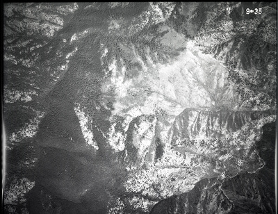
1935
Center Latitude Dec
45.9677
Center Longitude Dec
-114.9011
Orientation
East
Focal Length
8 1/4
Scale
unknown
Camera Axis
Vertical
Geographic Coverage
Idaho (county); Idaho (state)
Symbol
N
Project
32A
Flight Line
1E
Document Type
Image
Digital Format
image/jpeg
Physical Collection
United States Forest Service Aerial Photography Collection, Mss 860
Physical Medium
Photographic negative
Physical Dimensions
9 in. x 9 in.
Digital Publisher
University of Montana--Missoula. Mansfield Library
Digitization Specifications
Digital images created at the University of Montana Maureen and Mike Mansfield Library. Scanned on an Epson Expression 12000XL at 1058 ppi, 8 bit RGB, saved as uncompressed TIF. JPG derivatives made in Photoshop CS at 1200 pixels on the long edge.
Date Digitized
2018-2023
Rights
Local Identifier
N_01_0009
Local Filename
N_01_0009.jpg
Reproduction
To order a reproduction, download our order form or contact Archives and Special Collections, Mansfield Library: (406) 243-2053 / library.archives@umontana.edu
Contact Us
For additional information about our collections or to suggest a keyword or share what you know about this item e-mail us. Please include the Local Identifier in your note to us.
Keywords
Aerial photographs; Aerial photography in forestry--West (U.S.)