Preview
Date Created
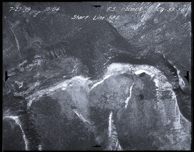
7-27-1939
Center Latitude Dec
47.47963
Center Longitude Dec
-113.437227778
Orientation
West
Focal Length
8 1/4
Scale
1: 20,000
Camera Axis
Vertical
Geographic Coverage
Powell (county); Montana (state)
Symbol
CO
Project
54A1
Flight Line
58E
Document Type
Image
Digital Format
image/jpeg
Physical Collection
United States Forest Service Aerial Photography Collection, Mss 860
Physical Medium
Photographic negative
Physical Dimensions
9 in. x 9 in.
Digital Publisher
University of Montana--Missoula. Mansfield Library
Digitization Specifications
Digital images created at the University of Montana Maureen and Mike Mansfield Library. Scanned on an Epson Expression 12000XL at 800 ppi, 24 bit RGB, saved as uncompressed TIF. JPG derivatives made in Photoshop CS at 1200 pixels on the long edge. Skipped frames were unscannable.
Date Digitized
2018-2023
Rights
Local Identifier
CO_53_0056
Local Filename
CO_53_0056.jpg
Reproduction
To order a reproduction, download our order form or contact Archives and Special Collections, Mansfield Library: (406) 243-2053 / library.archives@umontana.edu
Contact Us
For additional information about our collections or to suggest a keyword or share what you know about this item e-mail us. Please include the Local Identifier in your note to us.
Keywords
Aerial photographs; Aerial photography in forestry--West (U.S.)